
The Amalfi Coast
Fifty kilometres of road cut halfway up the cliff, between thirteen villages hung on the rock.
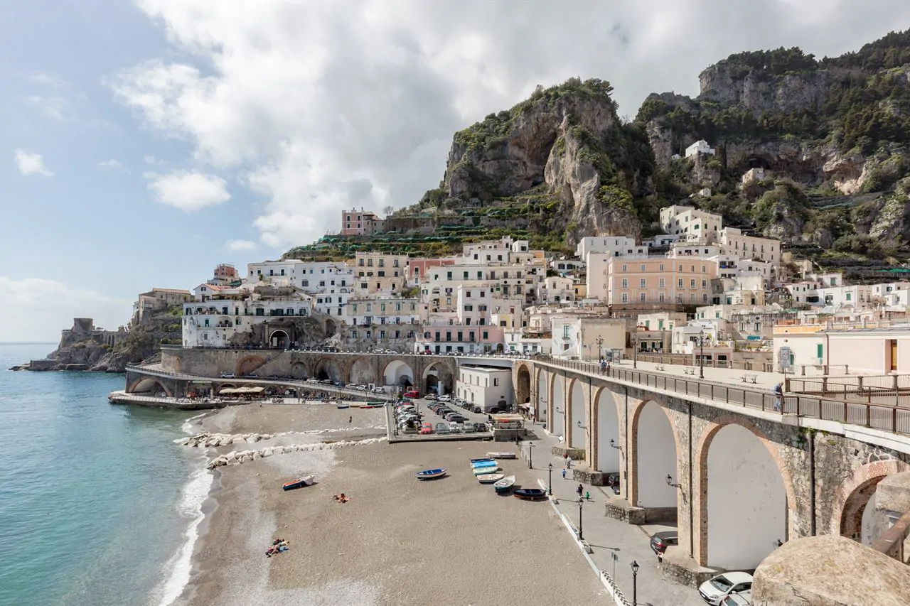
The Amalfi Coast is the southern side of the Sorrento peninsula: a wall of rock dropping into the sea, with thirteen villages wedged wherever the slope allowed and a single road linking them all. It has been a UNESCO site since 1997, and the citation speaks of a cultural landscape, that is, of a place made jointly by nature and a thousand years of human work on the terraces.
Amalfi, Ravello, Positano
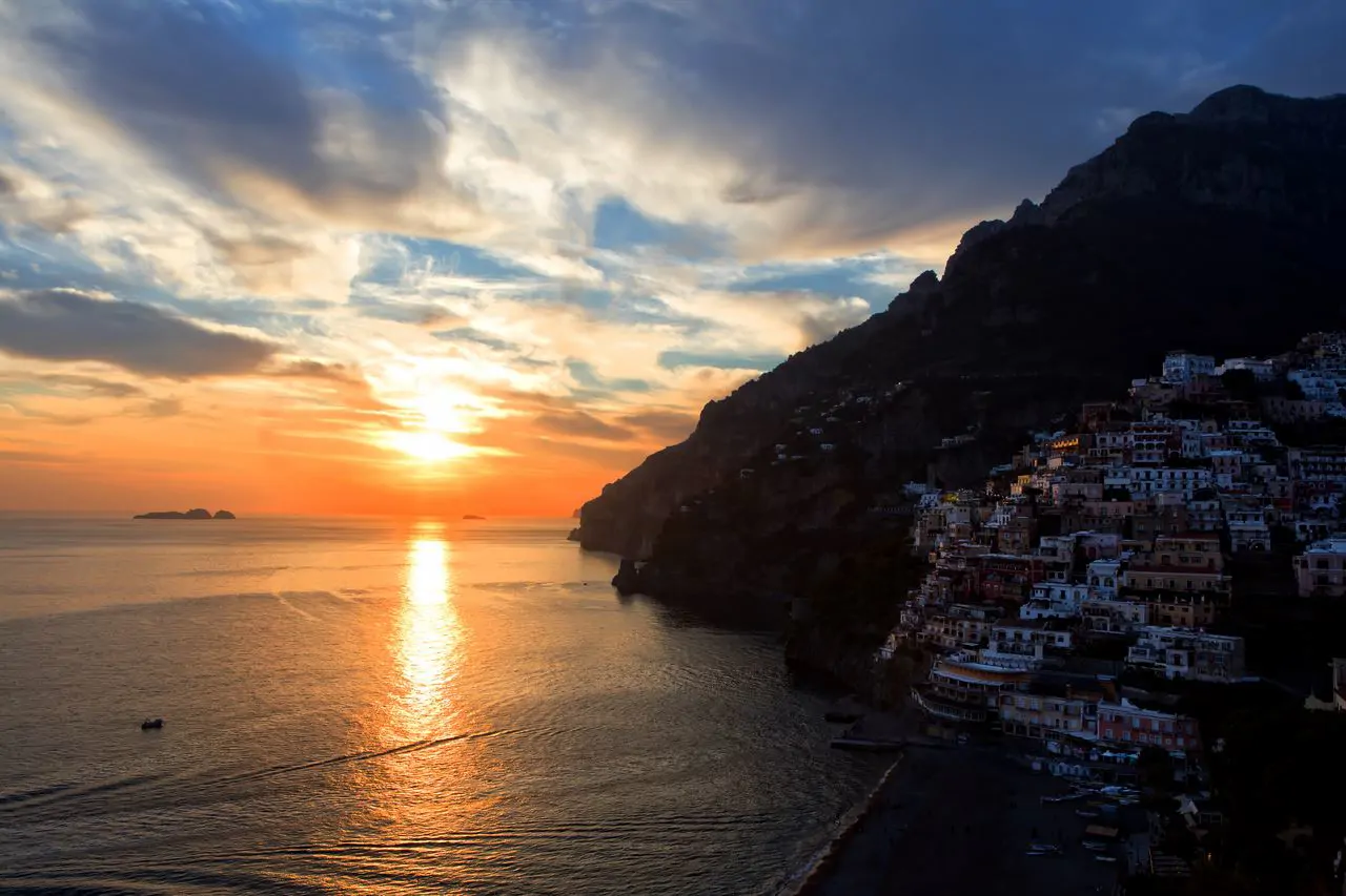
Amalfi was a maritime republic and keeps its cathedral from those days, with the great stair and the striped facade. Ravello sits three hundred and fifty metres higher and has two villas with gardens above the sea, which in summer become stages for concerts. Positano steps down to the beach and is the most photographed of the three, with the consequence that at midday in August you cannot walk in it.
The road
The SS163 was cut into the rock in the nineteenth century and is as wide as carriages needed. Today the service buses use it, and when two of them meet on a bend everything stops. It has height limits in several places and in summer long vehicles are regulated: you do not take a camper along it.
You reach the coast by bus or by boat. In your own vehicle you reach it late.
What every campsite in the area will tell you
The Path of the Gods
Above the road, at six hundred metres, runs the path linking Bomerano di Agerola to Nocelle above Positano. It is seven kilometres, almost all downhill, three hours of walking, and the view from up there is the same postcard without the traffic underneath it.